 |
|
|
|
|
| APPENDIX G |
About 200 years ago an Englishman classified clouds according to what they looked like to a person seeing them from the ground. He grouped them into three classes and gave them Latin names: cirrus, cumulus, and stratus. These three names, alone and combined with other Latin words, are still used to identify different cloud formations.
By being familiar with the different cloud formation and what weather they portend, you can take appropriate action for your protection.
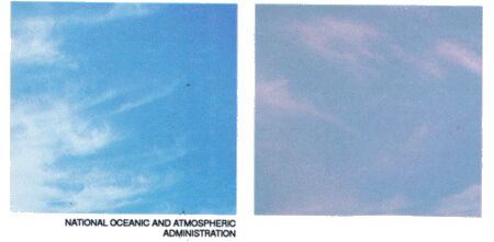
Cirrus clouds
Cirrus clouds are the very high clouds that look like thin streaks or curls. They are usually 6 kilometers or more above the earth and are usually a sign of fair weather. In cold climates, however, cirrus clouds that begin to multiply and are accompanied by increasing winds blowing steadily from a northerly direction indicate an oncoming blizzard.
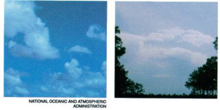
Cumulus clouds
Cumulus clouds are fluffy, white, heaped-up clouds. These clouds, which are much lower than cirrus clouds, are often fair weather clouds. They are apt to appear around midday on a sunny day, looking like large cotton balls with flat bottoms. As the day advances, they may become bigger and push higher into the atmosphere. Piling up to appear like a mountain of clouds. These can turn into storm clouds.
| Updated: 12 January 2008 |
|
Born on 02 February 2000 |